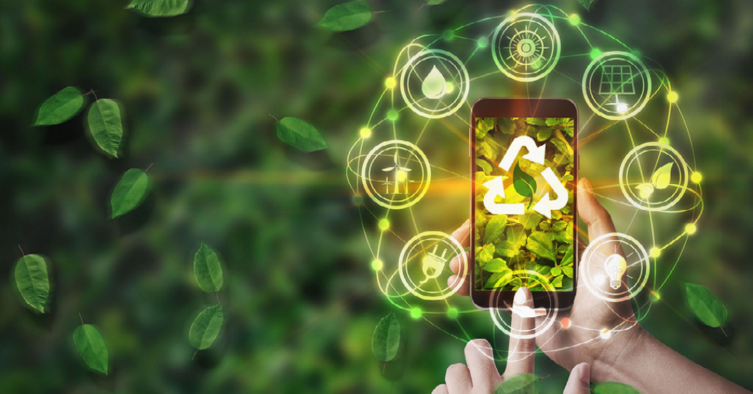
Climate change is an urgent global issue, and technology has become crucial for monitoring environmental changes and guiding policy. With tools like satellites, IoT sensors, artificial intelligence (AI), and drones, countries can gain insights into shifting climate patterns. For Guyana—a nation rich in natural resources and susceptible to climate impacts—leveraging these tools is vital for both conservation and resilience.
Remote Sensing and Satellites
Satellites provide critical data on deforestation, coastal erosion, and sea levels. In Guyana, where forests cover about 85% of the land, satellite monitoring can help track forest health, carbon storage, and potential illegal logging. Remote sensing is also useful for mapping coastal areas vulnerable to sea-level rise, which threatens local communities and agriculture.
Benefit for Guyana: Satellite data can support sustainable development goals, ensuring forests remain a valuable carbon sink. It also aids in verifying emissions reductions, essential for partnerships and funding under global agreements like REDD+ (Reducing Emissions from Deforestation and Forest Degradation).
IoT Sensors for Local Monitoring
IoT sensors can be deployed in areas prone to flooding or drought to measure changes in water levels, soil quality, and weather patterns. For Guyana, sensors installed along coastal and river areas can provide real-time flood warnings, enabling quicker response to extreme weather events.
Benefit for Guyana: Early warning systems improve disaster readiness and protect communities. This technology supports climate adaptation, which is increasingly important as the nation faces more unpredictable weather patterns due to climate change.
AI and Machine Learning for Predictive Analysis
AI can analyze vast amounts of data from various sources to predict weather patterns, rainfall, and potential risks like hurricanes. AI-powered insights are valuable for agriculture, especially in Guyana, where crops depend on seasonal rains.
Benefit for Guyana: AI helps optimize crop planting cycles, supporting farmers and food security. It also provides actionable insights for disaster preparedness, ensuring resources are allocated to areas at higher risk.
Drones for Environmental Monitoring
Drones offer cost-effective ways to monitor ecosystems, especially in hard-to-access regions. Drones can survey coastal erosion, deforestation, and water quality in Guyana’s forests and rivers.
Benefit for Guyana: Drones can enhance enforcement of conservation policies and support biodiversity protection. By monitoring protected areas, they ensure resources are preserved and policies are effective.
Conclusion
With strategic use of these technologies, Guyana can strengthen its climate resilience, protect natural resources, and ensure sustainable development. Embracing these tools will allow for evidence-based decisions, safeguarding both the environment and the economy as climate challenges grow.